Longdo Map Solutions is complete solutions to enhance your business activities with modern Geographic Information
System featuring several map image modes, rich POIs (Point of interests), and multi-platform APIs,
available for both online (Internet service) and offline (Intranet box set) applications.
Longdo Map Solutions can be used in two ways:
Longdo Map Solutions features data from different map vendors to serve various needs as followings.

Longdo Map Solutions can be used in two ways:
- Free Package
You can use our API free-of-charge if the usage is low. Free package allows for the use of less than 800,000 map transcations/month, less than 100,000 web service transcations/month, and no often than 1 transaction/second, and under the terms and conditions of Longdo Map API. If you are not sure which solution is suitable for you then you'd better try this free package first. - Commercial Package
Online API- This solution is suitable for online Internet websites. Users visit your sites and pull the map data directly from our high-performance Internet map servers. This solution allows for much higher traffic volumes and comes with customer support and training and without advertisements. The usage fee is starting from 150,000 Baht per year and varies by the data traffic volume.Longdo Map Box this is an all-in-one map server appliance box designed for the use in Intranet or private environment. This solution provides unmatched speed and performance as the server is right inside your network and dedicated for you. It comes without the limits on the number of users, tracked devices or usage amount.
(Learn more information about Longdo Box)
Map Data
Longdo Map Solutions features data from different map vendors to serve various needs as followings.
- NuMAP Thailand local map, best price/performance
- TomTom leading global map vendor

- MEA (Metropolitan Electricity Authority) Verdy detailed map of Bangkok and vicinities.

- Here (Nokia) leading global map vendor

Examples of Applications
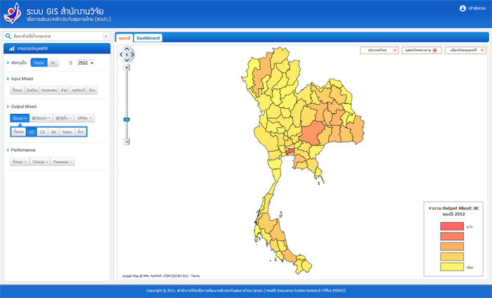
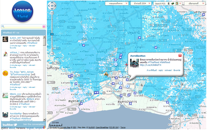
Information Portal For a company information portal web site,
company,s information such as branch
locations, service stations, etc can be
integrated with our map imageries and
traffic information to provide information
service to the company,s customers.
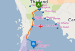
Trip Planner Longdo Map Route API is used to calculate
optimized multimodal (roads, railways, ferries,
airplanes) routes to destinations with different
criteria, e.g., avoid traffic congestion, avoid
small or toll roads. Optimization algorithm,
e.g., to solve Traveling Salesman Problem,
is also available.
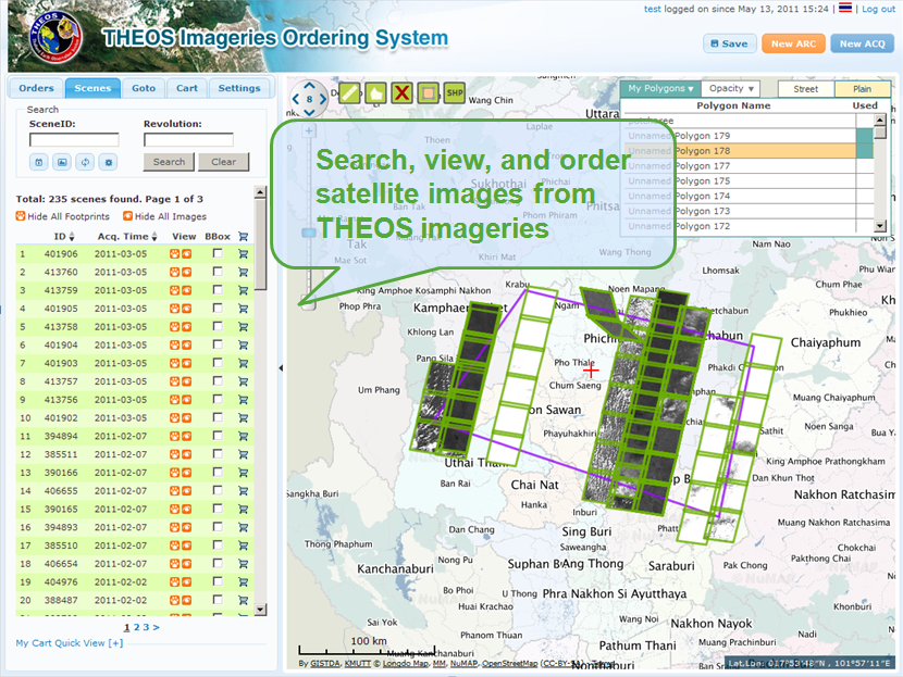
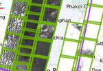
Imageries Ordering System This system allows customers to search,
select, and purchase satellite imageries or
request for new image acquiring, by
specifying the desired regions,
e.g., self-draw polygons or administrative
boundaries like provinces, districts.
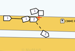
Accident Information Management The system computerizes the workflow of
recording road accidents. Instead of paper-
based form, the system offers map-based
GUI to input, illustrate in a diagram, follow-up
and view statistics of all highway incidents
in Thailand.
Fleet Management Our map is used in logistics applications
like vehicles and assets tracking, fleet
management. Typical features include
average speed and fuel consumption
calculation as well as geo-fencing,
zone-alarming.
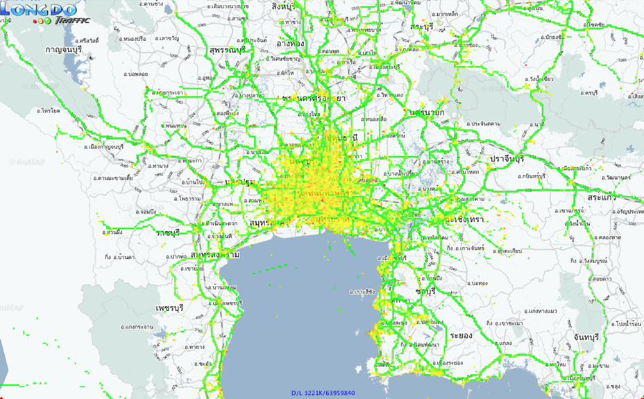
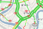
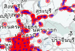
Traffic Data Processing Our map and traffic engine is used to process
real-time traffic data from both traditional
sensor-based and vehicle probes data and
deliver the traveling speed of each road links all
over Thailand. The information can then be
used in several ways including broadcasting
via FM to vehicles, displaying on web sites and
mobile applications.(See more information about Longdo TrafPro)
Download Longdo Map solutions brochure